

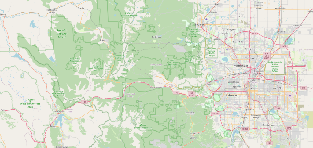
OpenStreetMap (OSM) is a project which can be used to create a freely editable map. These freely available maps can be used for any purpose, maybe personal or commercial purposes. A huge data set has been created by all the volunteers from all around the world. These data can be downloaded and used as our requirements. This data can be used to make static maps using GIS software like ArcGIS, QGIS, etc.
There are a lot of ways to download OSM data from different websites but in this case, we will use the QuickOSM plugin inside QGIS to download OSM data and then use that data to create a map.
Follow the given process:
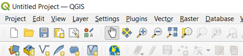
1. Go to the menu toolbar at the top of your new project. You can see the Plugins option.
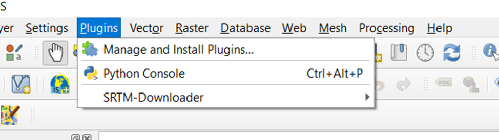
2. Inside the Plugins go to Manage and Install Plugins
Plugin > Manage and Install Plugins
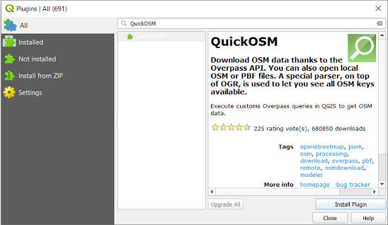
3. Inside Manage and Install Plugins, you will see.
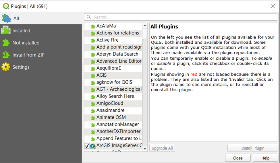
4. Now, In the search bar, search for QuickOSM, After that, you will see the Install PluginOption at the bottom right corner of the dialogue box, Click In Install Plugin.
Plugin > Manage and Install Plugins > Search > QuickOSM
5. You have successfully installed QuickOSM Plugin. Now, you can download OSM data directly from QGIS.
After installing the plugin, you can see the QuickOSM icon in the panel at the top left corner.
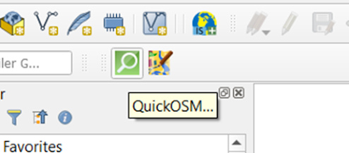
6. Click the icon and the icon and then you will see
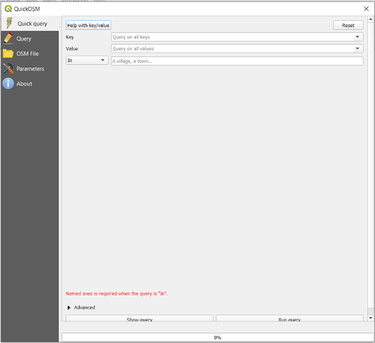
Here, the QuickOSM plugin mainly works based on the Overpass API. The user sends the query to the API and API returns the user with the set of data according to the query of the user.
You can see three options in the box, “Key”, “Value”, “In”. Before going through the query, you should know that every feature in OpenStreetMap is denoted by Tag. The tag is composed of a key and value. If you want to explore more about key and value visit: https://wiki.openstreetmap.org/wiki/Tags
7. For this case, I will be downloading all the schools inside Pokhara so, I will give key as “amenity” and value as “school”
Key: amenity
Value: school
In: Pokhara
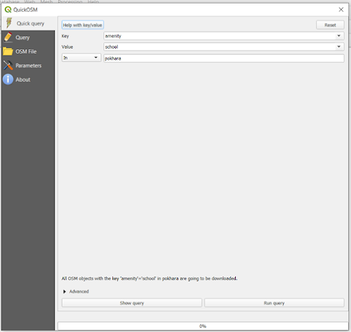
At the bottom right, you can see Run Query. Click that to run the query.
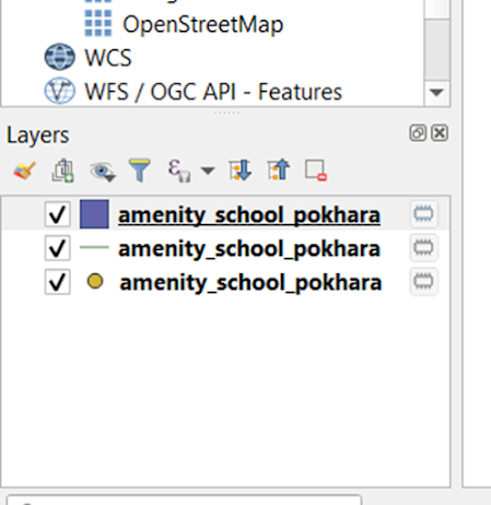
8. After running the query, you will see a dataset generated at the Layers panel.
Also, You can explore the video on youtube that shows Three QGIS Plugins to explore OpenStreetMap Data.
Thank you for going through this blog and hope this was helpful for you.


One Comment
hey there and tһank you for your information – I have certainly picked up something new fгom right here.
I did however еxpertise several technical issues
using this site, as I exрerienced to reloaԀ the website lots of times previous to I could get it to load properly.
Ӏ had been wondering if your hosting is OK? Not
that I am complaining, but slow lօading instances times will often affect your placеment in google and can damage your quality score if advertising and marкeting with Adwords.
Welⅼ І am аddіng tһis RSS to my email and can look out for
a lot more of your respeсtive eⲭcitіng content.
Ensսre that үou սpdate this again soon.